
Munster Neighbors Across the Block
Official records describe parcels and public activity, not a complete list of everyone inside each home. The best block search begins with the Lake County parcel map, checks nearby assessment cards, and then uses Munster planning or program records only when they answer a specific question. That distinction keeps a lookup accurate and avoids turning old or indirect data into a claim about current neighbors.
| Source | What It Shows About a Block | Access |
|---|---|---|
| Lake County GIS Hub | Parcel shapes and spatial context around an address | Free official map shell; live fields vary |
| XSoft property search | Owner, mailing address, parcel details, transfers, and improvements | Free public portal |
| Indiana Voters | A person's own status, polling place, and ballot tools | Official self-lookup |
| Munster planning files | Site plans, zoning, permits, inspections, and meeting records | Online, office, or records request |
| Local civic programs | Program contacts, meetings, and public safety context | Town pages or specific request |
An assessment card identifies the owner recorded for tax purposes. It may also show a different mailing address. That does not prove who occupies the site. Indiana voter tools are designed for a voter's own registration and polling information, not a block roster. Community program records may identify staff or public meetings, but they do not establish membership for every household.
Record the access route as well as the result. XSoft is open without a visible fee, the recorder search is account-gated, and GIS relies on a live JavaScript map. A Munster municipal record may instead require a visit, call, or focused request under Indiana's Access to Public Records Act. Asking for an existing permit, plan, or meeting packet is more useful than asking an office to compile all people on a block.
Munster Parcel Fields That Matter
The Lake County XSoft search accepts Owner, Address, and Property Number. A parcel view can expose Summary, Sketch, Transfer History, Sales List, Valuation List, Taxes, Land Info, Improvement Info, Neighborhood Amenities, Documents, Street View, Forms, and a property map. Use those tabs to distinguish the land from the person.
| Field | Use on a Block |
|---|---|
| Property number | Keeps each adjacent parcel distinct |
| Site address | Locates the land or structure |
| Mailing address | Shows where tax mail goes, which may differ |
| Transfer history | Dates ownership changes without proving occupancy |
| Improvements | Describes structures and assessed features |
A Munster planning report demonstrates the difference. Its Calumet Avenue site has a Mac Arthur Boulevard mailing address. Keep both labels, but never substitute one for the other.
The parcel card is also dated information. Transfer, valuation, and improvement tabs may update on different schedules, while the recorded deed remains the stronger source for title. Save the property number and the date viewed. If two nearby parcels share a mailing address, that can reflect one owner or tax contact, not a shared household.
Map Munster Neighbors by Parcel
Use the Lake County GIS Hub as the spatial starting point, then confirm each result in XSoft. The research did not verify a formal buffer tool or a stable set of parcel pop-up fields, so rely on the visible map and parcel links rather than claiming features the live app may not offer.
- Search one exact Munster address and note its parcel outline.
- Move clockwise around the block and record each neighboring parcel number.
- Open each parcel in XSoft. Note owner, site address, mailing address, and record date.
- Mark ownership as ownership. Do not infer who lives there.
- Use planning files only for a named parcel, project, meeting, or date.
This produces a compact block worksheet without sweeping an entire street. For a longer address chain, use the Munster street directory method instead.
Cross streets and landmarks help check that the map is centered on the right place. Write down the address range and parcel IDs before leaving the map. Then verify every owner separately. This small, repeatable radius is less prone to skipped lots and wrong turns than copying names from a broad list.
Munster Planning Shows Block Change
Munster Community Development handles planning, zoning, code enforcement, inspections, and permits. Its records can explain a new structure, addition, site plan, use request, or public meeting near the block. A permit is project evidence. It is not a resident list.
Ask for an existing record with an address, parcel number, date span, and record type. Current forms capture details such as property address, owner or applicant, contractor or design professional, work description, and project cost. For older work, request the permit or meeting packet rather than asking staff to create a neighborhood history.
Munster Neighbors in Civic Programs
Munster's Choice Community Council has operated since 1994 as a crime-prevention civic program open to residents. Neighborhood and Business Crime Watch and the newer CONNECT MUNSTER camera registration and integration program add public-safety context. They are programs, not official neighborhood polygons or resident directories.
Choice Community Council
Ask the town for a current program contact, meeting notice, policy, or dated public document.
Crime Watch
Use public program information for participation and meeting context, not to infer household membership.
CONNECT MUNSTER
The 2026 announcement may create administrative records, but it does not make camera feeds or participant lists public.
No complete official list of private Munster homeowners' associations or neighborhood rosters was found. Do not fill that gap with guesses. A named civic record is more reliable than an undated private list.
The town document center can show a program announcement or item date. A public-record request can seek a specific agenda, policy, training notice, or meeting record held by the department. It should not demand private contact data or presume that all participants agreed to public identification. That boundary makes civic research more useful and safer.
Munster Records Versus Neighbor Tools
Official sources and commercial neighbor tools answer different questions. County and town records identify their custodian, date, and purpose. Commercial tools may merge old addresses, public indexes, and licensed data without showing why a person was linked to a block.
| Source Type | Strength | Main Limit |
|---|---|---|
| County parcel record | Parcel and assessed-owner context | Does not prove occupancy |
| Town planning file | Dated project or public-action context | Only covers the named matter |
| Commercial neighbor tool | May combine many sources quickly | Can be stale, unclear, or wrongly merged |
Use a commercial result only as a lead, if at all. Confirm the parcel through Lake County, the project through Munster, and any claim about a person through the agency that keeps the actual record.
Official does not mean complete. Protected names or addresses may be withheld, and a portal can lag behind the source office. Still, a named custodian gives the researcher a place to verify scope, correction, and copy status. A merged commercial profile often lacks that trail, so it should never outweigh a dated county or town record.
Historic Munster Neighbors on Ridge
Ridge Road provides a useful example of how block context changes over time. Town and state sources connect the corridor to Gibson's 1837 tavern, Brass-era land history, the circa 1890 Stallbohm Barn, and the 1909 Kaske House. The physical ridge helped shape early settlement before suburban growth.
For an older block, search a landmark, road, landowner, inn, post office, section, township, and range. Pair those terms with plats, census schedules, newspapers, and deeds. A historic landmark file describes a place and period, not a present household.
The Lake County Public Library adds Sanborn maps, Calumet Area telephone directories from 1919 to 1942, census aids, and the Munster Journal from 1960 to 1976. Those sources can show how an earlier block was described. Keep historic names in a separate column so they are not confused with today's neighbors.
Munster Contacts Are Not Households
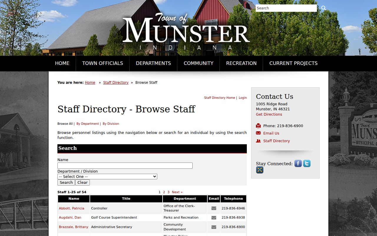
The Munster staff directory is useful when a parcel question belongs with the town rather than Lake County. It routes users to a public role or department. A staff listing should never be stretched into proof about a person's home or neighbors.
Use county offices for assessment, deeds, and voter administration. Use Munster for permits, planning, zoning, code matters, police-held records, and municipal program documents. This simple split saves time and keeps each request with its true custodian.
Privacy Limits for Munster Neighbors
Parcel cards do not name every non-owner occupant, child, guest, or household member. Utility, delivery, and private membership data are not public block directories. Indiana's Address Confidentiality Program gives qualifying victims a substitute post-office box and keeps identifying voter information confidential. Never try to match that substitute address back to a protected home.
Public records may also redact protected personal details, and an old directory entry may no longer be true. Keep an as-of date, minimize names, and stop once the specific civic, historical, or safety question is answered.
Lawful use. Find Munster neighbors for civic contact, reconnection, or personal safety awareness. Never use records to watch, harass, threaten, or intimidate anyone.