
Walk a Munster Street
Start with the address exactly as it appears on a letter, deed, or photograph. Keep that spelling before changing Road to Rd or Avenue to Ave. The Lake County XSoft property search turns a street location into a parcel number and assessor owner label. Ownership and occupancy are different facts, so save the source date and do not turn a tax record into a resident roster.
A sound Munster street directory search builds a chain. Each step answers a narrow question and leaves an audit trail when two systems show separate site and mailing addresses.
- Search the number and street in XSoft. Save the parcel number, situs address, owner label, and data date.
- Open the Lake County GIS Hub for map context, while verifying its live layers.
- Check the Lake County Recorder index with the owner and instrument trail. The captured search is account-gated.
- Ask Munster Community Development for permits, plans, zoning, and inspections by address, parcel, and date.
- Compare older addresses with library phone books, maps, newspapers, and census sources.
This method works by street without claiming that one source identifies every person at a home. Historical printed households belong to the Munster city directory collections.
Munster Records Indexed by Street
The Munster street directory uses custodians at town, county, state, and library levels. Online access ranges from an open parcel form to an account gate and a JavaScript map shell. Counter, phone, written request, and library routes matter when a screen has no older image or usable field.
| Record Set | Keeper | What It Shows | Access |
|---|---|---|---|
| Assessment card | Lake County Assessor | Situs, parcel, owner label, transfers, improvements | Open XSoft search; office and phone |
| GIS parcel map | Lake County GIS | Spatial parcel context and available overlays | Official map shell; live fields unverified |
| Recorded instruments | Lake County Recorder | Deeds, mortgages, liens, releases, plats, surveys | Account-gated index; counter and phone |
| Permit and plan file | Munster Community Development | Address, applicant, project, plans, inspections | Forms and focused records request |
| Historic print | LCPL and State Library | Past names, phones, addresses, landmarks | Indexes, microfilm, desk and mail help |
A bounded Indiana Access to Public Records Act request should name an existing file, exact address or segment, and date range. It should ask for inspection or copies, not require staff to create a street report.
Search Munster Parcels by Address
XSoft is the strongest open start for a modern Munster address. Its public form showed three fields and no visible required marker. Results lead to map and list views, then tabs for transfer history, sales, valuation, taxes, land, improvements, sketches, documents, street view, and forms. Not every card contains every field.
| Field | Input | Required | Purpose |
|---|---|---|---|
| Owner | Name | No marker shown | Find parcels under an owner label |
| Address | Street text | No marker shown | Run a by-address search |
| Property Number | Parcel number | No marker shown | Return to a known parcel |
The card is informational, not certified title. Contact the Lake County Assessor for corrections or field questions.
Open the official Lake County property search shown here.
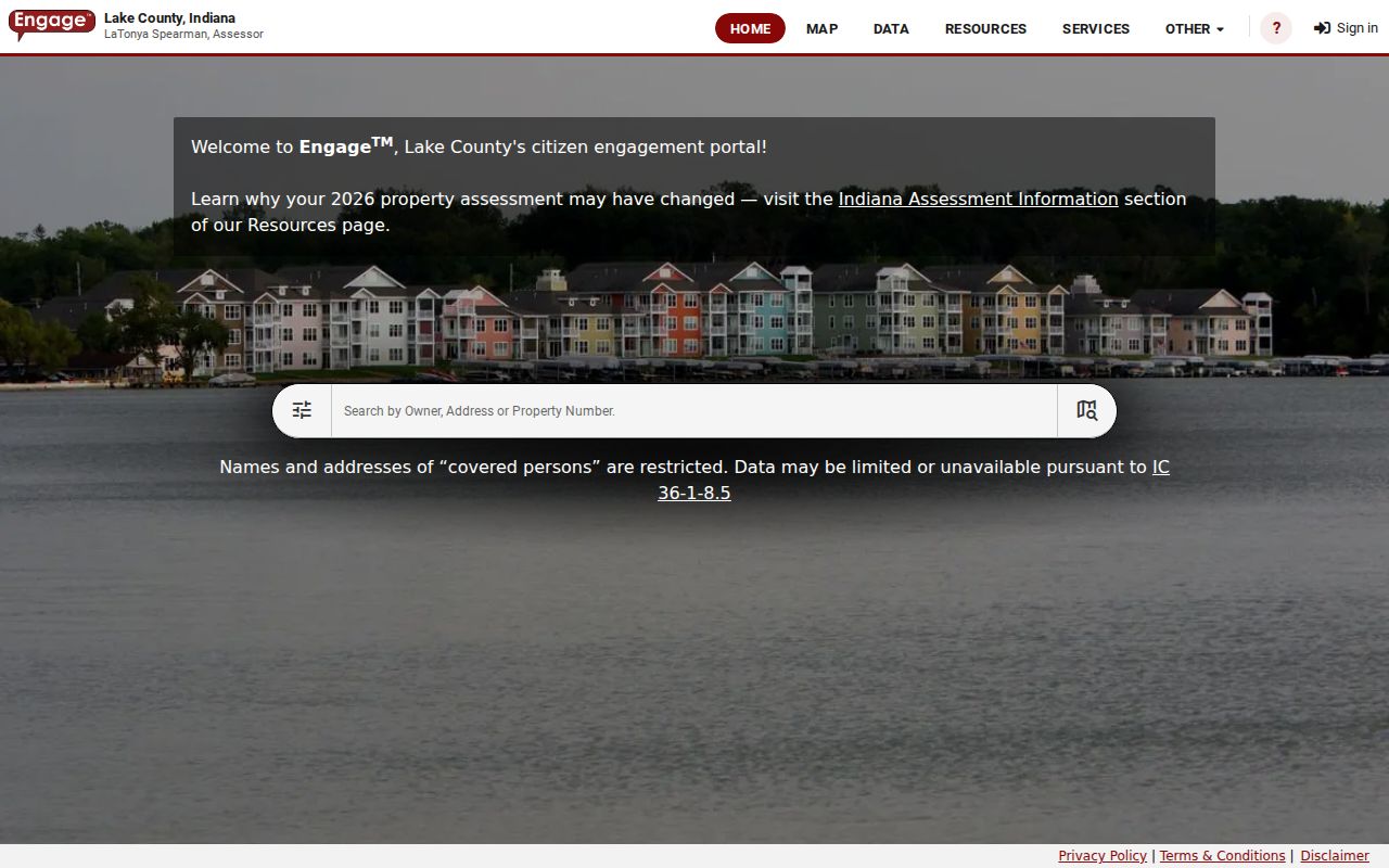
The three-field form makes an address the bridge to the parcel number used by later records.
Read Munster Street Fields
Address fields that look alike can serve different roles. A Munster planning report shows a Calumet Avenue site address and a separate Mac Arthur Boulevard mailing address. The record also carries a parcel ID, acreage, legal description, tax class, and section-township-range. Keeping those fields apart prevents tax correspondence from being mistaken for a physical site.
- Parcel
- A county identifier for a tract in assessment and mapping systems.
- Situs address
- The physical location tied to the parcel, not an owner's mailing destination.
- Plat
- A recorded map identifying lots, blocks, roads, and subdivision geometry.
- Criss-cross directory
- An address-order print tool used to look from a street number toward a listed name.
View the official sample parcel detail interface.
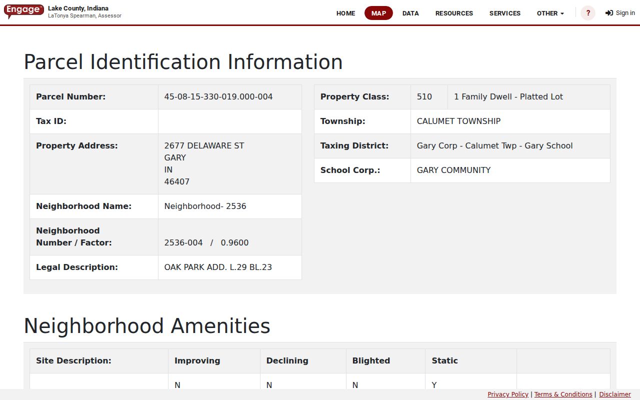
The many tabs show why a parcel card is a group of dated facts, not a simple resident list.
Note: Preserve both site and mailing fields exactly, since substituting one for the other can derail every later search.
Follow Munster Deeds Streetwise
The Lake County Recorder keeps deeds, mortgages, liens, releases, leases, plats, and surveys. Its portal describes more than three million documents and recordings more than two centuries old. It names One Line Search and Individual Field Search, but the post-login controls were not captured. Confirm them after authorized access.
Work backward from the newest instrument using party names, instrument or book and page references, legal descriptions, and releases. If an old deed lacks a modern number, use lot and block, plat, section-township-range, road, and nearby owners. An index hit is a lead; the recorded image or certified copy is stronger evidence.
See the Recorder's search login gate.
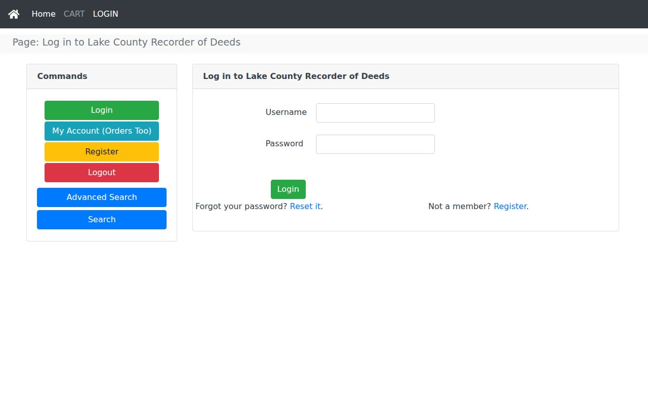
The gate is why the street directory keeps the Recorder counter and phone route beside online research.
Munster Permits Explain Numbers
Munster Community Development handles planning, zoning, code enforcement, inspections, and permits. Current forms collect the property address, owner or applicant, contractor or design professional, work description, and cost. Older files may need a direct request by address, parcel, and date.
The town building-number notice says the building inspector designates a number when issuing a permit. Visible numerals face the street, with rear numbers where an alley exists. This is not a renumbering history. It does show why a permit file may explain how a new or altered building received its number.
No consolidated official Munster street-renaming, annexation, or address-range chronology was found. Ask Community Development, county staff, LCPL, and the Historical Society while retaining old and normalized spellings.
Municipal records also have a phone and written-request path. Community Development can be reached at 219-836-6990, and the town main line is 219-836-6900. A useful request names the exact permit, plan, inspection, meeting packet, or street project sought. Add the address, parcel number, and a narrow date span. Under Indiana's Access to Public Records Act, the agency responds for records it keeps, but it need not answer a research question or create a new compilation.
Police material uses a different custodian. The Munster Police request form asks for location, date, time, person, and added details, along with whether the requester wants to examine or copy the record. Protected portions may be withheld or redacted. Call Police Records at 219-836-6630 to identify the report route, then use the department's written form for an existing incident record.
Munster Streets Before Parcels
Modern parcel numbers do not reach every era. Lake County plats from 1869 and 1891, Sanborn maps, Calumet Area telephone directories from 1919 through 1942, newspapers, and census files can bridge an old road description to later street records. Before incorporation in 1907, a source may say North Township, post office, landowner, inn, or crossroads instead of Munster.
Ridge Road is a strong local anchor. A state historic nomination ties the corridor to Gibson and Brass land history, a circa-1890 barn, and a 1909 house. The town's Calumet and Ridge streetscape plan adds project context, while deeds and parcel cards answer different legal and assessment questions.
The library route is broader than an online city directory. LCPL holds census binders for 1840 through 1870, Soundex tools for selected later censuses, Indiana census microfilm through 1930 with gaps, school enumeration material, maps, phone books, and local newspapers. Staff can help identify a reel or pull an obituary. The Indiana State Library adds county guides, plat holdings, Sanborn and house-history guidance, while archival indexes may point to an item that has not been scanned.
Keep a search log for each old address. Record the database, exact wording, date, filters, years covered, and whether an index or image was viewed. A failed modern street spelling may simply reflect an older locality label. Negative searches become useful once another source supplies a road, township, plat, or landowner term to test.
Note: Search old Munster addresses with township, plat, landowner, road, inn, and post-office terms before concluding that no record exists.
Limits of Munster Street Records
Public street evidence is strongest for land, recorded interests, permits, plans, and dated publications. It is not a complete current roster. Non-owner occupants, household members, utility customers, protected voters, and people absent from a public filing may not appear. A listed owner can receive mail elsewhere, while an old telephone book can lag a move.
Indiana's Address Confidentiality Program gives qualifying victims a substitute post office box and protects identifying voter information. Assessor displays may suppress protected names or addresses. Do not try to reverse those safeguards by combining sources.
Lawful use. Use Munster address records for careful personal, civic, property, or family research. Never use them to stalk, harass, intimidate, or harm anyone.
Every conclusion should name its record and date. “Assessor owner as of the portal date” is supportable. “Everyone who lives here” is not.
A Munster street directory is most reliable when it states what each custodian actually shows. Keep parcel ownership, title, permit applicants, historical listings, and protected records in separate columns. If sources conflict, retain both dates and ask the responsible office for clarification. That care prevents an old entry or mailing destination from becoming a false claim about a current household.